Water
resources data

We provide high value water data suitable for impact studies of climate change on water resources and extremes, including floods and droughts, for water management planning and water uses.

What is water resources data?

Water resources data includes quantitative information on key water balance variables (evapotranspiration, groundwater recharge, soil moisture, runoff, snow cover) as well as river flows, taking climate change into account.
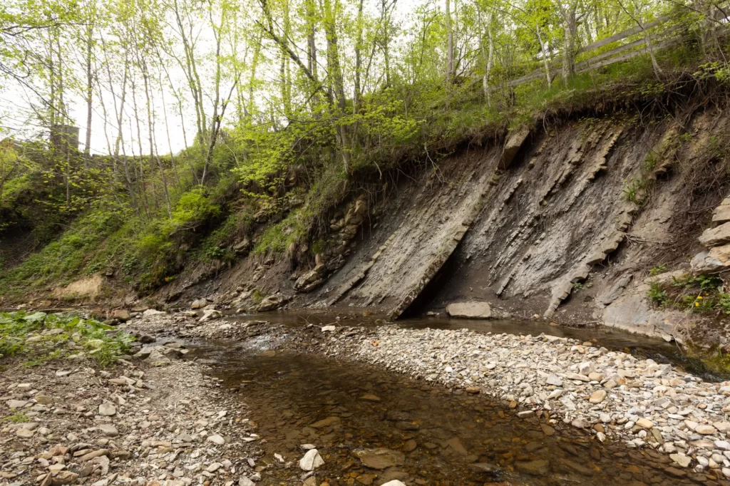
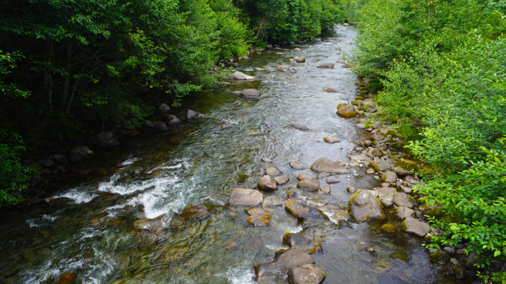
water course forest hydroclimat
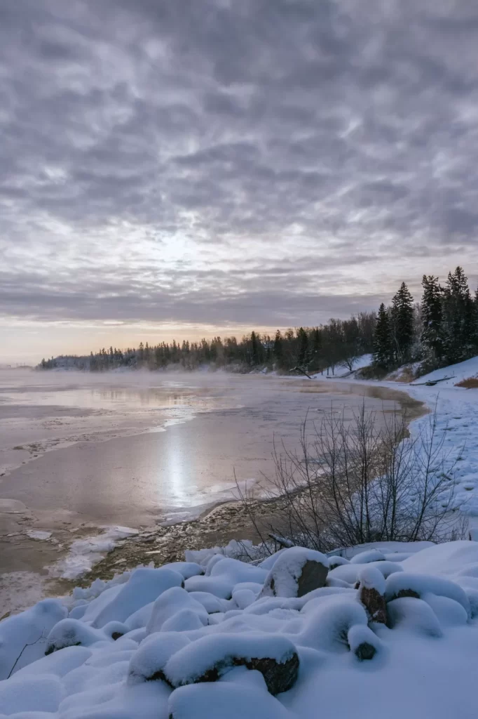
Snowy lake hydroclimat
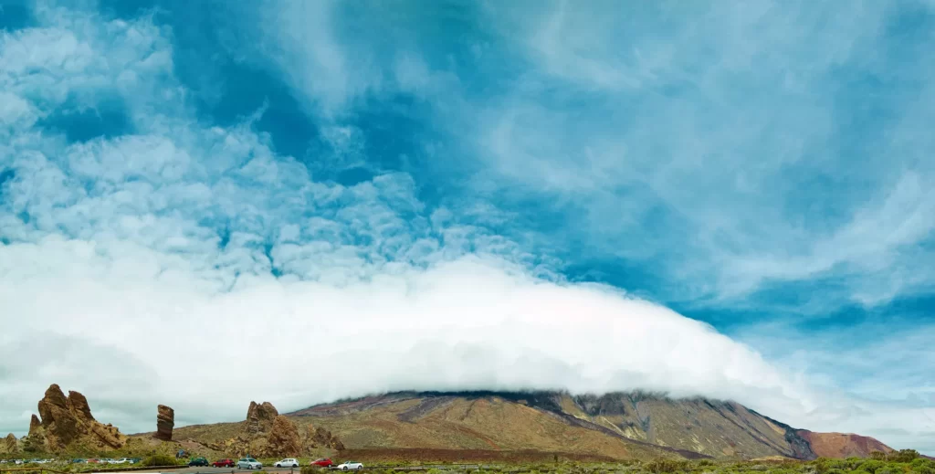
Mountain panorama and blue sky

Why request water resources data?

Highly accurate, qualified hydrological data is essential for anticipating changes in water resources and optimizing their allocation between different uses. In the face of disruptions to hydrological regimes brought about by climate change, reliable forward-looking data are essential for effectively adapting management strategies and strengthening the resilience of territories.

Water resource data can be used to analyze future resource availability, identify hydrological trends and plan sustainable management adapted to the needs of different sectors.

In a context of water governance and the sharing of water between different uses, it is essential to take an in-depth look at needs and how they are evolving.

Thanks to our expertise in hydrology, remote sensing and numerical modeling, we are able to develop regionalized projections of water stocks at the scale of hydrological sub-units, providing a fine, usable view of the resources available within a hydrosystem.

eau top view hydroclimat

What is a hydrological risk?

Hydrological risks are caused by extreme meteorological phenomena, mainly floods and droughts. In river hydrology, these risks are linked to two major hazards: high water and low water. Human activities and land-use planning can not only affect these hazards, but also exacerbate them.

Floods cause rivers to overflow their banks, leading to flooding. When a plain is submerged or a water table rises, the risk is mainly one of flooding. However, certain human practices, particularly in urban areas, can accentuate these phenomena, generating related risks such as urban runoff.

Conversely, drought results from a lack of precipitation (meteorological drought), leading to a reduction in the water available in the soil for crops (agricultural drought) and a reduction in river flows (hydrological drought), which can even lead to the total drying up of run-off (assec).

Anticipating and managing these risks requires a detailed understanding of hydrological hazards and appropriate planning to limit their impact on people, infrastructures and ecosystems.

What is a prospective study of water resources?

A prospective study on the evolution of water resources, whether surface or groundwater, aims to anticipate future changes by integrating both the availability of the resource and its uses. It is based on regionalized hydrological projections of key water balance variables, such as evapotranspiration, groundwater recharge, runoff, snowfall and river flows. To achieve this, it is essential to couple regionalized climate projections with  hydrological models.

While climate change plays a major role in the evolution of water resources, it is not the only pressure factor. Land use and human activities also need to be integrated into hydrological models to better understand the interactions between natural and anthropogenic dynamics, and thus refine long-term water management strategies.

For who ?

The data we provide is intended for a wide range of players concerned by climate issues. In particular, we support :

  • local and regional authorities, in their adaptation and sustainable planning initiatives;
  • finance and insurance companies, for the assessment of physical risks in asset portfolios;
  • Infrastructure managers and engineering firms, to integrate climate into the design and resilience of structures;
  • farmers and the agri-food industry, to anticipate the impact on crops and resources;
  • water management operators, faced with increasing hydrological variability.

Thanks to our expertise and up-to-date, qualified climate datasets, we enable each player to assess their vulnerabilities, build robust strategies and comply with regulatory frameworks, while boosting the economic performance of their business.

Advantages

Les avantages offerts par notre service

Watershed projections

Up to 30 m

futures horizons

Flexible between 2025 and 2100

reference periods

Flexible between 2025 and 2100

Geographical coverage

France, Europe and International

hydrological models

Physical, conceptual and deep learning

climate scenarios

SSP1-2.6 (+1.8°), SSP2- 4.5 (+2.7°C), SSP3-7.0 (+3.9°C), SSP5-8.5 (+4.4°C)

Our user cases

prospective study in isère
2023/2024
Prospective study of climate change impact on water resources in Isère
Department of Isère
impact of climate change in Lot
2023/2024
Case study of the impact of climate change on water needs and resources in the Lot watershed up to 2050
EPTB LOT
risk assessment Borana
2023
Risk assessment and design support for climate resilient water services in Borana (Ethiopia)
Global Center for Adaptation -- Resallience
watershed of argens
2023
Prospective study on the future evolution of the climate and water resources in the Argens watershed
Société du Canal de Provence
flood risk south region
2022/2023
Forecasting flood risk and infrastructure flooding in the South of France in 2023
CNES
characterization of climate change
2022
Characterization of climate change and water resources, impacts for the integrated management of resources and vulnerabilities of water uses.
Department of Corrèze - Resallience
Water Resources Data

Water
resources data

We provide high value water data suitable for impact studies of climate change on water resources and extremes, including floods and droughts, for water management planning and water uses.

What is water resources data?

Water resources data includes quantitative information on key water balance variables (evapotranspiration, groundwater recharge, soil moisture, runoff, snow cover) as well as river flows, taking climate change into account.
water course forest hydroclimat
Snowy lake hydroclimat
Mountain panorama and blue sky

Why request water resources data?

Highly accurate, qualified hydrological data is essential for anticipating changes in water resources and optimizing their allocation between different uses. In the face of disruptions to hydrological regimes brought about by climate change, reliable forward-looking data are essential for effectively adapting management strategies and strengthening the resilience of territories.

Water resource data can be used to analyze future resource availability, identify hydrological trends and plan sustainable management adapted to the needs of different sectors.

In a context of water governance and the sharing of water between different uses, it is essential to take an in-depth look at needs and how they are evolving.

Thanks to our expertise in hydrology, remote sensing and numerical modeling, we are able to develop regionalized projections of water stocks at the scale of hydrological sub-units, providing a fine, usable view of the resources available within a hydrosystem.
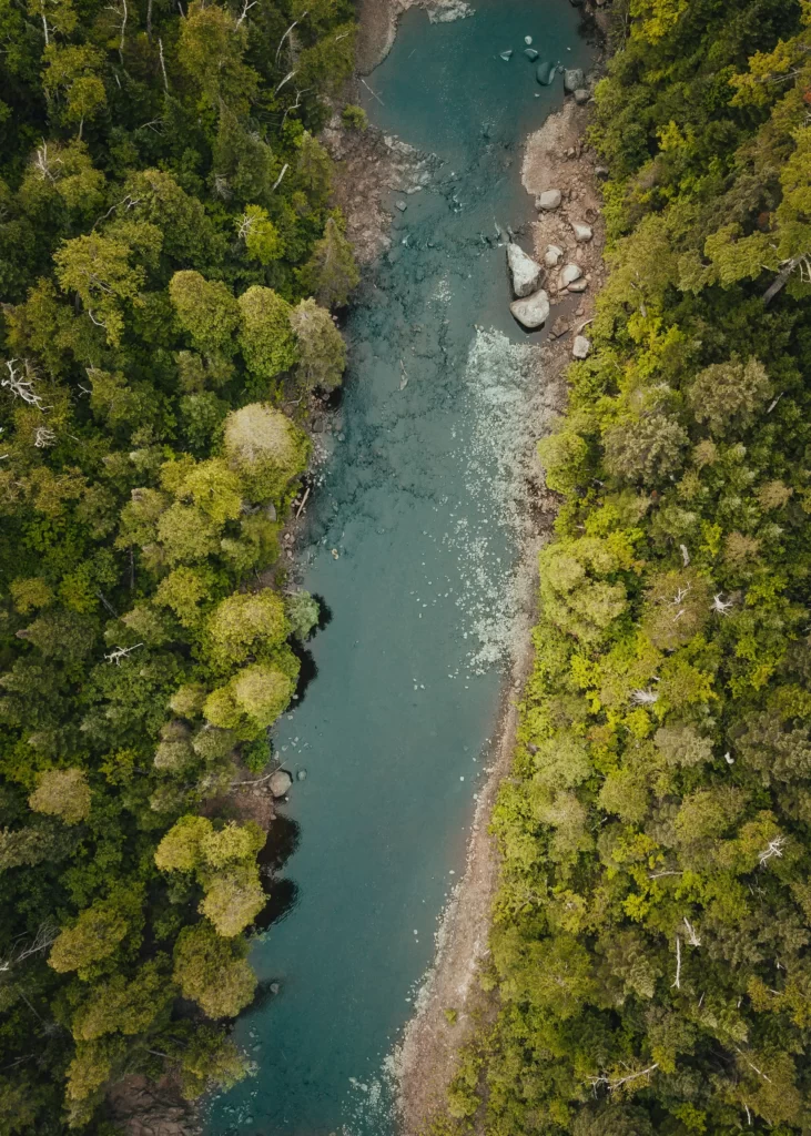
eau top view hydroclimat

What is a hydrological risk?

Hydrological risks are caused by extreme meteorological phenomena, mainly floods and droughts. In river hydrology, these risks are linked to two major hazards: high water and low water. Human activities and land-use planning can not only affect these hazards, but also exacerbate them.

Floods cause rivers to overflow their banks, leading to flooding. When a plain is submerged or a water table rises, the risk is mainly one of flooding. However, certain human practices, particularly in urban areas, can accentuate these phenomena, generating related risks such as urban runoff.

Conversely, drought results from a lack of precipitation (meteorological drought), leading to a reduction in the water available in the soil for crops (agricultural drought) and a reduction in river flows (hydrological drought), which can even lead to the total drying up of run-off (assec).

Anticipating and managing these risks requires a detailed understanding of hydrological hazards and appropriate planning to limit their impact on people, infrastructures and ecosystems.

What is a prospective study of water resources?

A prospective study on the evolution of water resources, whether surface or groundwater, aims to anticipate future changes by integrating both the availability of the resource and its uses. It is based on regionalized hydrological projections of key water balance variables, such as evapotranspiration, groundwater recharge, runoff, snowfall and river flows. To achieve this, it is essential to couple regionalized climate projections with  hydrological models.

While climate change plays a major role in the evolution of water resources, it is not the only pressure factor. Land use and human activities also need to be integrated into hydrological models to better understand the interactions between natural and anthropogenic dynamics, and thus refine long-term water management strategies.

For who ?

The data we provide is intended for a wide range of players concerned by climate issues. In particular, we support :

  • local and regional authorities, in their adaptation and sustainable planning initiatives;
  • finance and insurance companies, for the assessment of physical risks in asset portfolios;
  • Infrastructure managers and engineering firms, to integrate climate into the design and resilience of structures;
  • farmers and the agri-food industry, to anticipate the impact on crops and resources;
  • water management operators, faced with increasing hydrological variability.

Thanks to our expertise and up-to-date, qualified climate datasets, we enable each player to assess their vulnerabilities, build robust strategies and comply with regulatory frameworks, while boosting the economic performance of their business.

Advantages

Les avantages offerts par notre service

Watershed projections

Up to 30 m

futures horizons

Flexible between 2025 and 2100

reference periods

Flexible between 2025 and 2100

Geographical coverage

France, Europe and International

hydrological models

Physical, conceptual and deep learning

climate scenarios

SSP1-2.6 (+1.8°), SSP2- 4.5 (+2.7°C), SSP3-7.0 (+3.9°C), SSP5-8.5 (+4.4°C)

Our user cases
prospective study in isère
2023/2024
Prospective study of climate change impact on water resources in Isère
Department of Isère
impact of climate change in Lot
2023/2024
Case study of the impact of climate change on water needs and resources in the Lot watershed up to 2050
EPTB LOT
risk assessment Borana
2023
Risk assessment and design support for climate resilient water services in Borana (Ethiopia)
Global Center for Adaptation -- Resallience
watershed of argens
2023
Prospective study on the future evolution of the climate and water resources in the Argens watershed
Société du Canal de Provence
flood risk south region
2022/2023
Forecasting flood risk and infrastructure flooding in the South of France in 2023
CNES
characterization of climate change
2022
Characterization of climate change and water resources, impacts for the integrated management of resources and vulnerabilities of water uses.
Department of Corrèze - Resallience